
Last Sunday I decided to check out the Etz Meloy – related section of the Backbone trail. Etz Meloy includes a new section that was recently opened up to the public. After covering the actual territory on foot and reading two or three articles about the issue, this is my understanding of how this came to be:
Prior to the parcel(s) being purchased and easements negotiated with a landowner by the National Park Service in collaboration with local park agencies, the Backbone trail followed a small section of the Etz Meloy motorway, or fire road, which runs through private property. The landowner had tired of seeing people traversing his backyard and erected a gate to block the road, thus fragmenting the Backbone trail. On the newly purchased land, the park service built a new section of trail; this trail section travels up and around the private fire road section and leads down to Yerba Buena and the continuation of the Backbone trail.
While I enjoy a good climb and hike steep trails, as a runner with a knee that cannot tolerate much more than a 2-3% downhill grade, I do not run most of the trails that I hike. For running, the cranky knee requires trails that offer gradual ascents and descents.
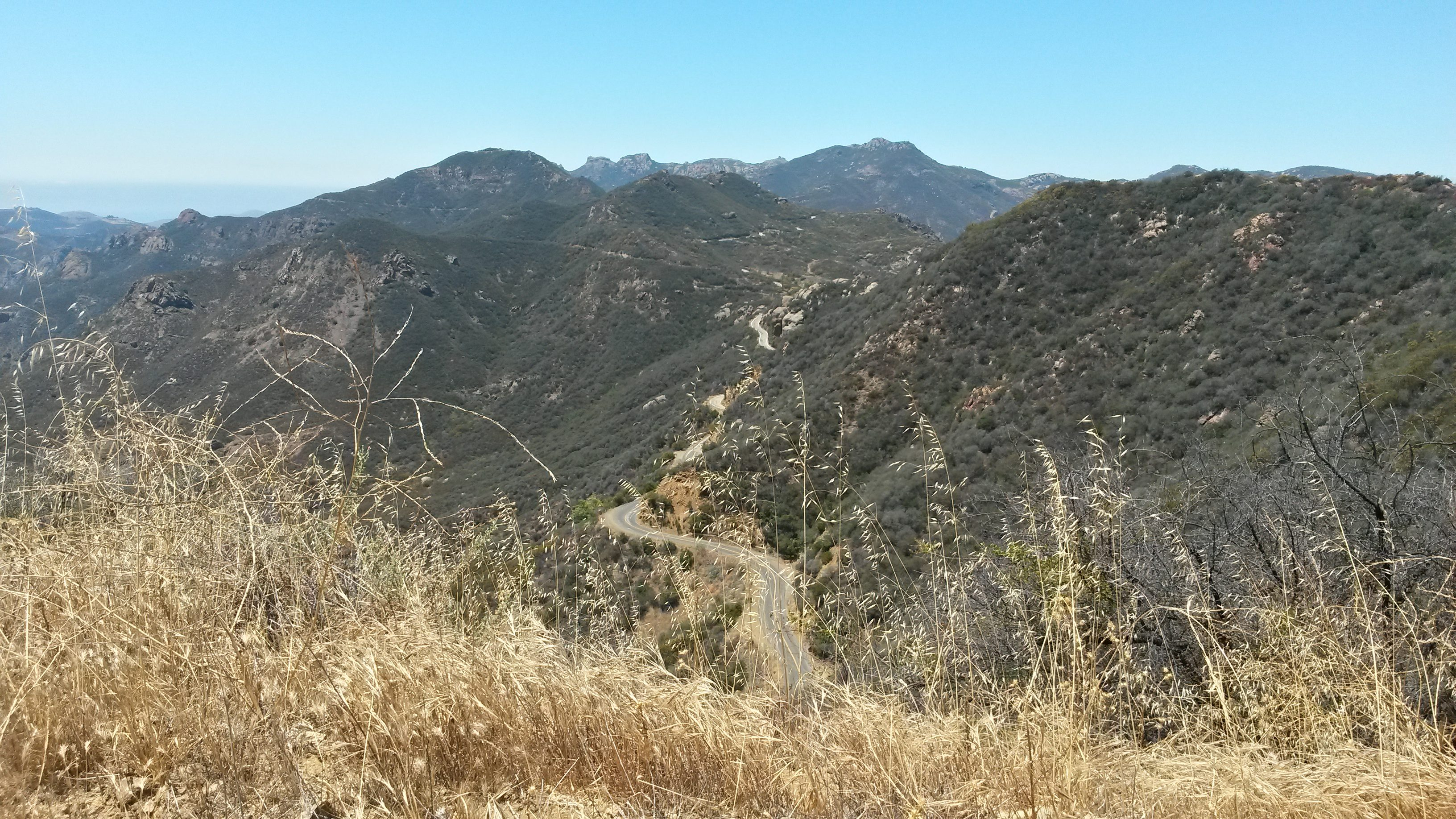
I started the run up Backbone to the Etz Meloy fire road bypass at an unmarked parking lot off Encinal Canyon. The trailhead itself was marked as part of the Backbone trail. The first three plus miles up the trail are perfect for runners looking for a moderate climb. After that there are some steeper sections as the single track that comprises the first three or so miles opens up to fire road. Here I simply reverted to the run/walk approach. The new section of trail is easy to spot if you look for the dark soil that marks an uphill start; it climbs a bit and then descends over the only rough (but short) section I encountered over the five miles to Yerba Buena. After that little bit of sandy, rocky slide, a series of perfect switchbacks follow and lead down to Yerba Buena.
Start: Backbone Trailhead at Encinal Canyon Road
Distance: From Encinal Canyon Road to Yerba Buena Road is slightly over five miles, one way. Hike, run or bike as many miles as you want and turn around when you are ready.